


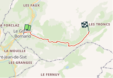

13.2 km | 28 km-effort

User GUIDE


FREE GPS app for hiking
 SityTrail
IGN / Geographical institutes
SityTrail World
The world is yours!
Trail Mountain bike of 7.5 km to be discovered at Auvergne-Rhône-Alpes, Upper Savoy, Le Grand-Bornand. This trail is proposed by pascalou73.
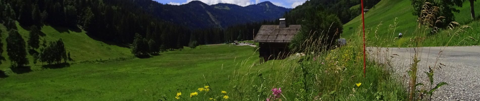
Voilà une VTT dans la belle vallée du Bouchet une petite randonnée avec de beaux passages dans la vallée et que vas vous conduire à l'auberge Nordique.


Walking

Walking

Touring skiing

Mountain bike

Mountain bike

Mountain bike

Walking

Walking
Walking